The Bi-Metallic is a silver, gold, molybdenum, tungsten, and copper mine located in Okanogan county, Washington.
About the MRDS Data:
All mine locations were obtained from the USGS Mineral Resources Data System. The locations and other information in this database have not been verified for accuracy. It should be assumed that all mines are on private property.
Mine Info
Elevation:
Commodity: Silver, Gold, Molybdenum, Tungsten, Copper
Lat, Long: 48.84972, -119.14250
Map: View on Google Maps
Satelite View
MRDS mine locations are often very general, and in some cases are incorrect. Some mine remains have been covered or removed by modern industrial activity or by development of things like housing. The satellite view offers a quick glimpse as to whether the MRDS location corresponds to visible mine remains.
Bi-Metallic MRDS details
Site Name
Primary: Bi-Metallic
Commodity
Primary: Silver
Primary: Gold
Primary: Molybdenum
Primary: Tungsten
Primary: Copper
Location
State: Washington
County: Okanogan
District: Myers Creek, Buckhorn Mtn Area
Land Status
Not available
Holdings
Not available
Workings
Not available
Ownership
Not available
Production
Not available
Deposit
Record Type: Site
Operation Category: Past Producer
Operation Type: Unknown
Years of Production:
Organization:
Significant: N
Physiography
General Physiographic Area: Rocky Mountain System
Physiographic Province: Northern Rocky Mountains
Mineral Deposit Model
Not available
Orebody
Not available
Structure
Not available
Alterations
Alteration Type: L
Alteration Text: Sericitic And Kaolinitic
Rocks
Name: Monzonite
Role: Host
Age Type: Host Rock
Age Young: Pliocene
Analytical Data
Not available
Materials
Ore: Molybdenite
Ore: Powellite
Ore: Scheelite
Ore: Chalcopyrite
Gangue: Pyrite
Comments
Comment (Location): 3 MILES NORTHEAST OF HAVILLAH
Comment (Deposit): DEVELOPMENT CONSISTS OF SEVERAL SHAFTS AND TWO ADITS. A TOTAL OF 2200 FEET OF LINEAR TRENCHING WAS DONE BY THE U.S. BUREAU OF MINES (USBM) IN 1945 TO DETERMINE THE EXTENT OF MINERALIZATION; NO SIGNIFICANT MINERALIZATION WAS FOUND. ASSAYS OF SAMPLES FROM THE ADIT BY THE USBM RANGED FROM 2.20 TO 3.87% MO AND 0.03 TO 0.32% CU AND SHOWED TRACES OF AU AND AG. SAMPLES TAKEN FROM THE TRENCH AVERAGED 0.32% CU; TRACE AMOUNTS OF AU AND AG WERE FOUND IN SOME SAMPLES. SAMPLING SUGGESTS THAT THE BETTER COPPER VALUES ARE FOUND IN SAMPLES FROM NEAR THE SURFACE, WHEREAS THE HIGHER MOLYBDENUM VALUES ARE FROM SAMPLES COLLECTED AT DEEPER LEVELS IN THE MINERALIZED SYSTEM (MOEN, 1980, P. 57). ; INFO.SRC : 1 PUB LIT
Comment (Geology): THE DEPOSIT IS WITHIN THE ALKALIC COMPLEX OF BIMETALLIC MOUNTAIN, WHICH IS OF CRETACEOUS OR TERTIARY AGE. THE MONZONITE, WHICH IS BRECCIATED AND LOCALLY INCLUDES SKONKINITE, IS INTRUDED BY HYDROTHERMALLY ALTERED, FINE-GRAINED, ALASKITE DIKES. THE ROCKS INTRUDE METASEDIMENTARY ROCKS OF THE SPECTACLE FORMATION OF THE PERMIAN ANARCHIST GROUP, WHICH ARE LOCALLY HORNFELSED (STOFFEL, 1990).
Comment (Production): HIGH GRADE COPPER ORE WAS SHIPPED FROM ONE OF THE SHAFTS IN 1918 (MOEN, 1980, P. 57).
References
Reference (Deposit): PURDY, C.P., JR., 1952, DIRECTORY OF WASHINGTON MINING OPERATIONS, 1952: WASHINGTON DIVISION OF MINES AND GEOLOGY INFORMATION CIRCULAR 20, 75 P.
Reference (Deposit): PURDY, C.P., JR., 1954, MOLYBDENUM OCCURENCES OF WASHINGTON: WASHINGTON DIVISION OF MINES AND GEOLOGY REPORT OF INVESTIGATIONS 19, 118 P., 6 PL.
Reference (Deposit): STOFFEL, K.L., COMPILER, 1990, GEOLOGIC MAP OF THE OROVILLE 1:100,000 QUADRANGLE, WASHINGTON: WASHINGTON DIVISION OF GEOLOGY AND EARTH RESOURCES OPEN FILE REPORT 90-11, 58 P., 1 PL.
Reference (Deposit): WDGER OF 90-18
Reference (Deposit): HUNTTING, M. T., 1956, INVENTORY OF WASHINGTON MINERALS-PART II, METALLIC MINERALS: WASHINGTON DIVISION OF MINES AND GEOLOGY BULLETIN 37, V. 1, 428 P.; V. 2, 67 P.
Reference (Deposit): MOEN, W.S., 1980, MYERS CREEK AND WAUCONDA MINING DISTRICTS OF NORTHEASTERN OKANOGAN COUNTY, WASHINGTON: WASHINGTON DIVISION OF GEOLOGY AND EARTH RESOURCES BULLETIN 73, 96 P., 6 PL.
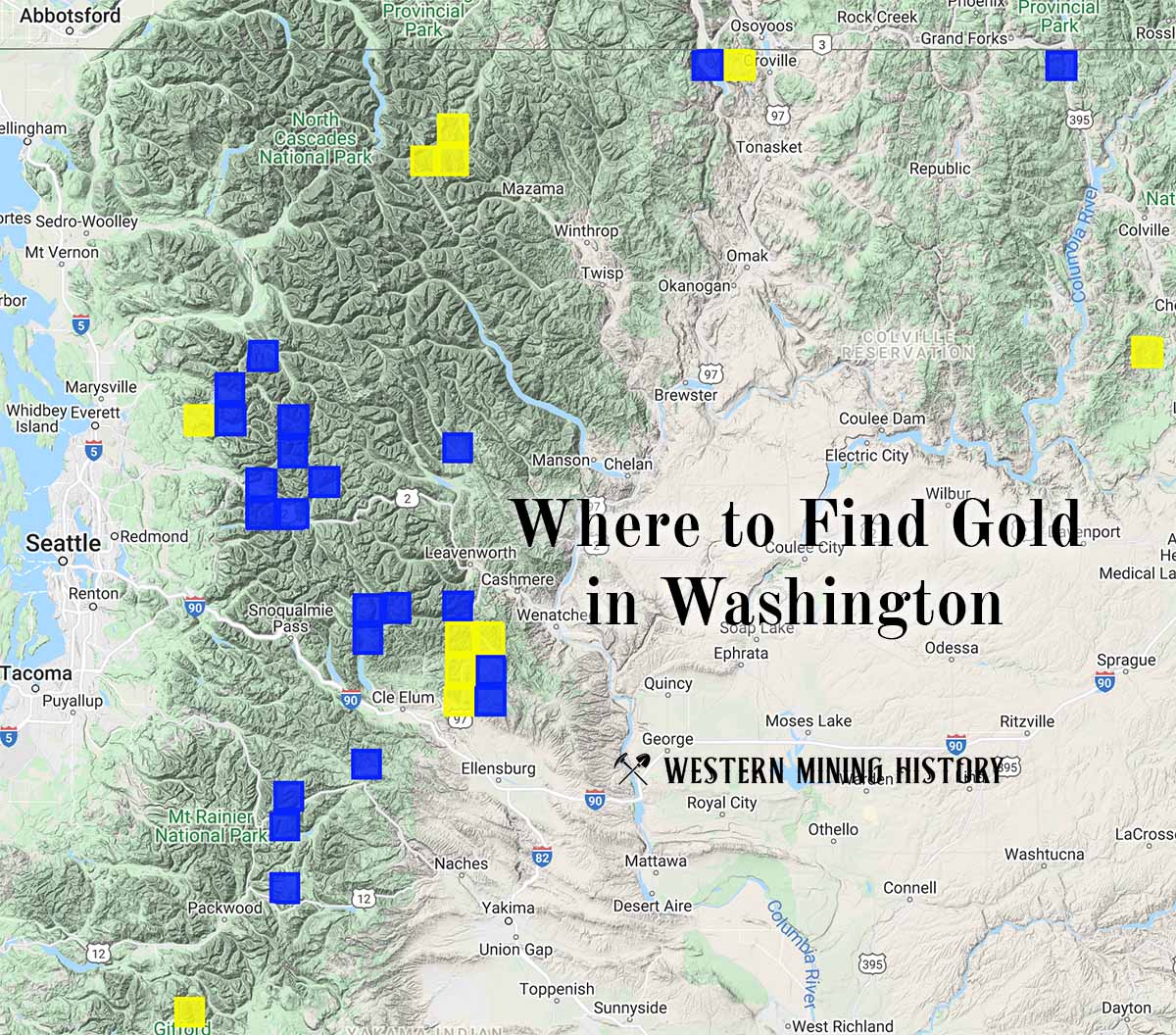
Washington Gold

"Where to Find Gold in Washington" looks at the density of modern placer mining claims along with historical gold mining locations and mining district descriptions to determine areas of high gold discovery potential in Arizona. Read more: Where to Find Gold in Washington.