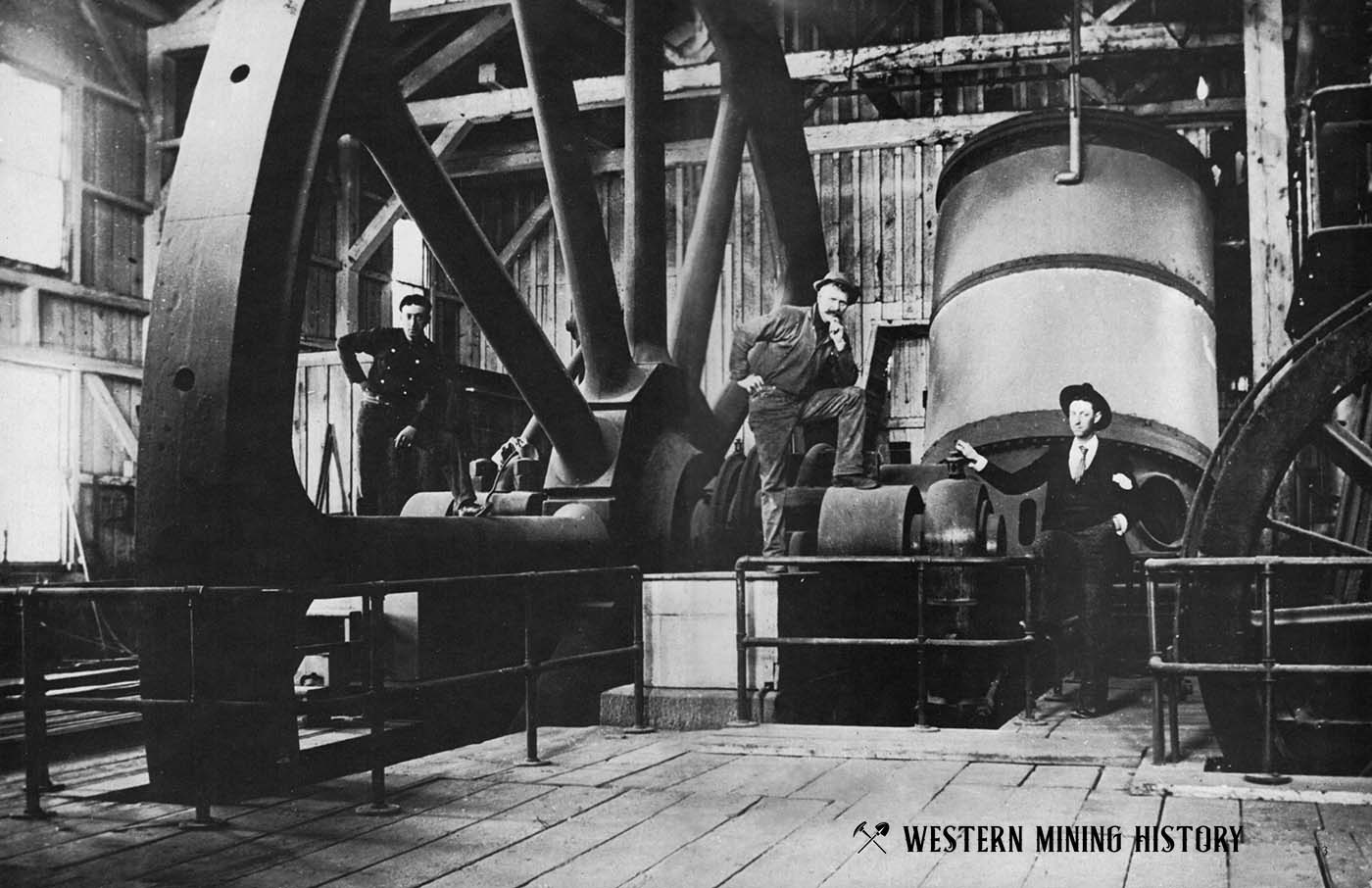
A Collection of Oregon Mining Photos
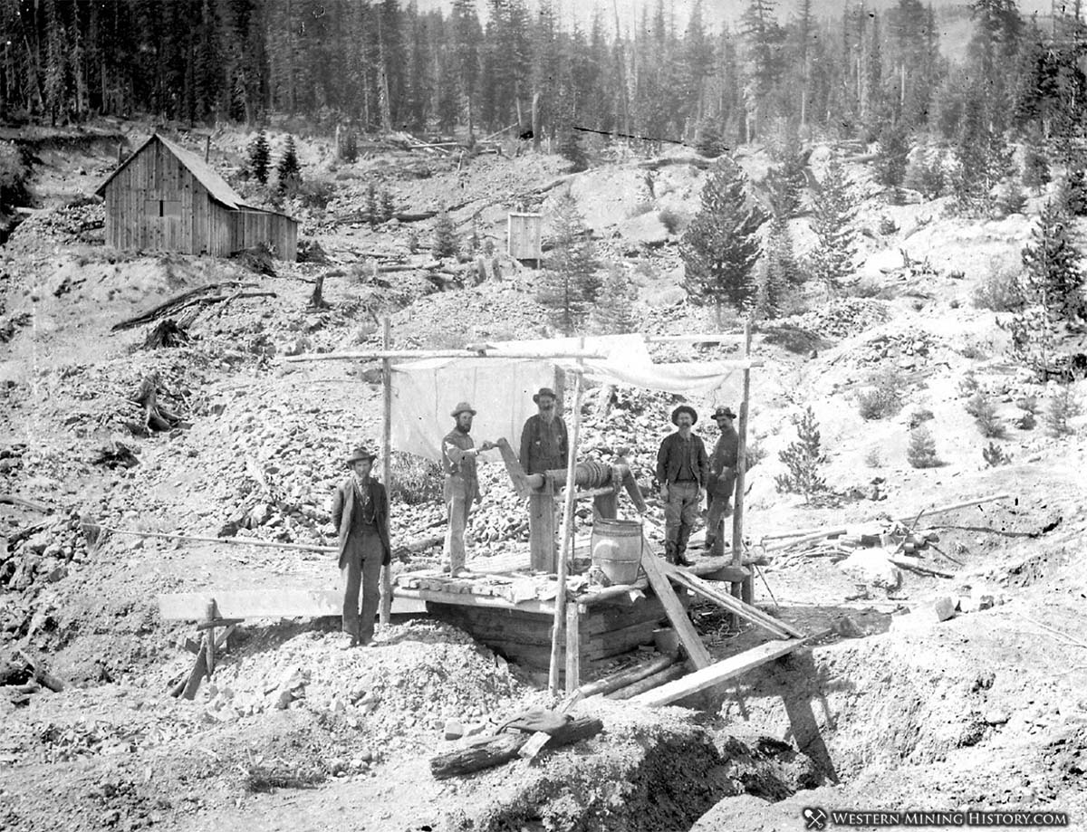
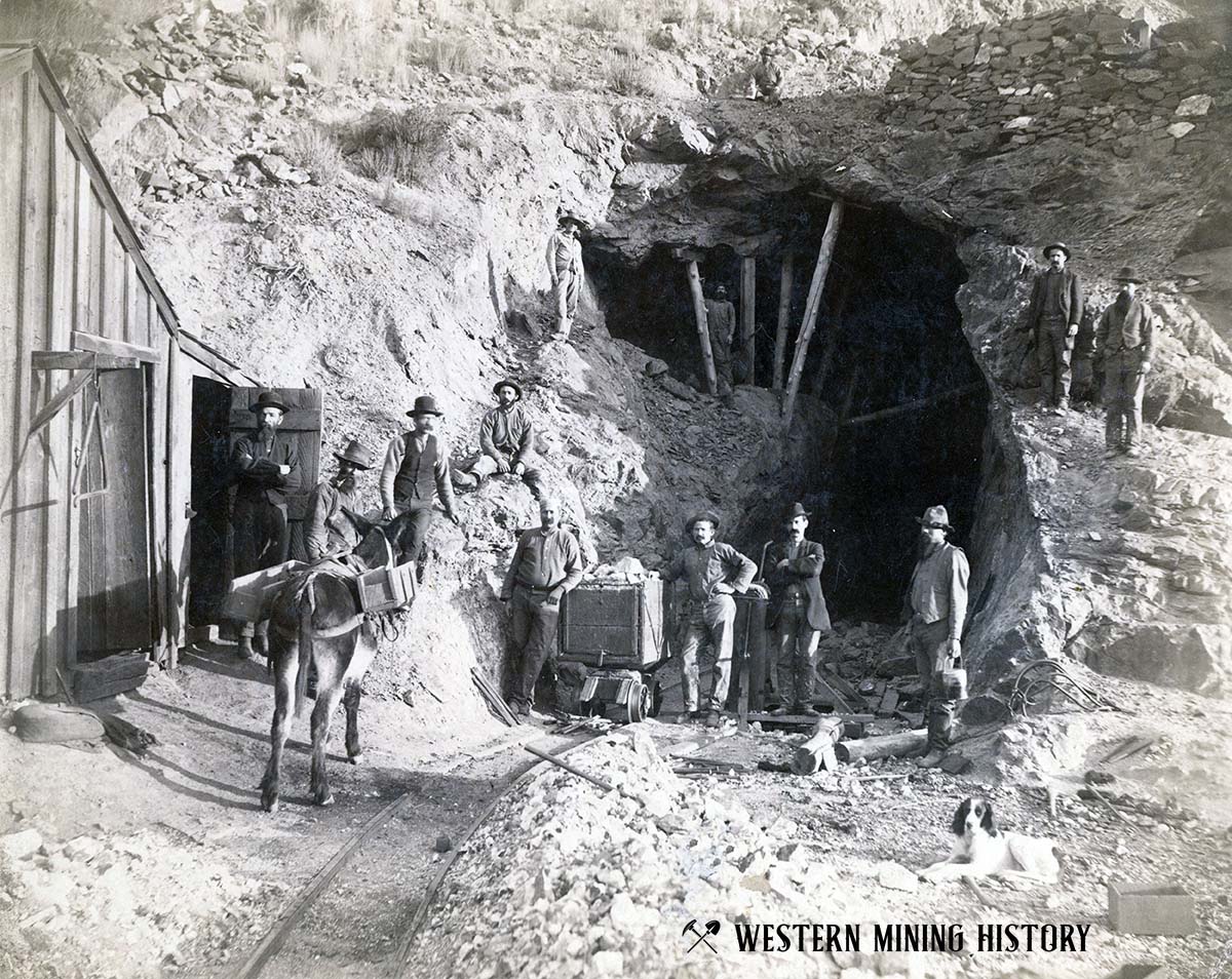
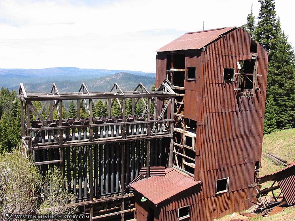
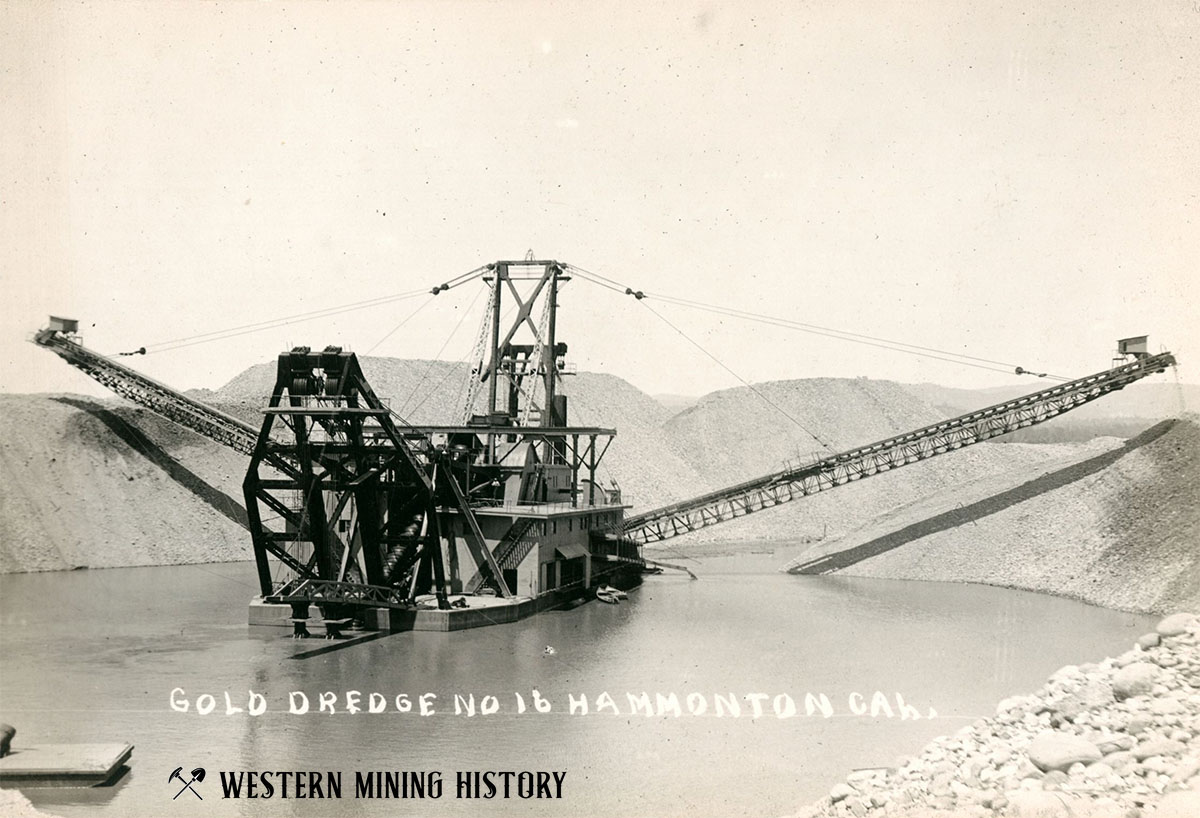
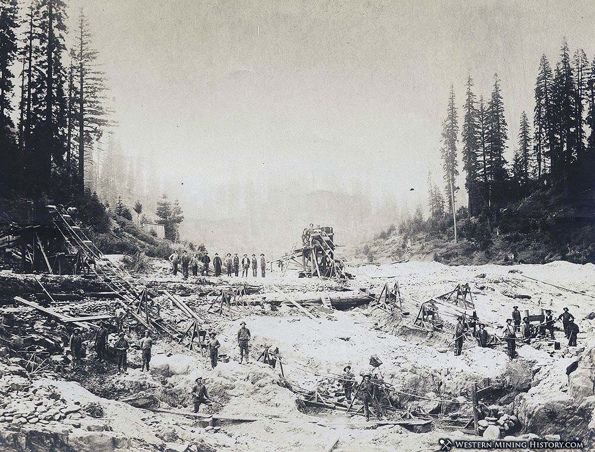
Gold is Oregon’s primary mined commodity, and the gold mining industry thrived in the state for many decades. This is a collection of noteworthy mining photos from the state.
Gold is Oregon’s primary mined commodity, and the gold mining industry thrived in the state for many decades. This is a collection of noteworthy mining photos from the state.
“The extraordinary mill of the Gould & Curry Company was, however, the most conspicuous monument of inexperience and extravagance ever erected in a mining district.”
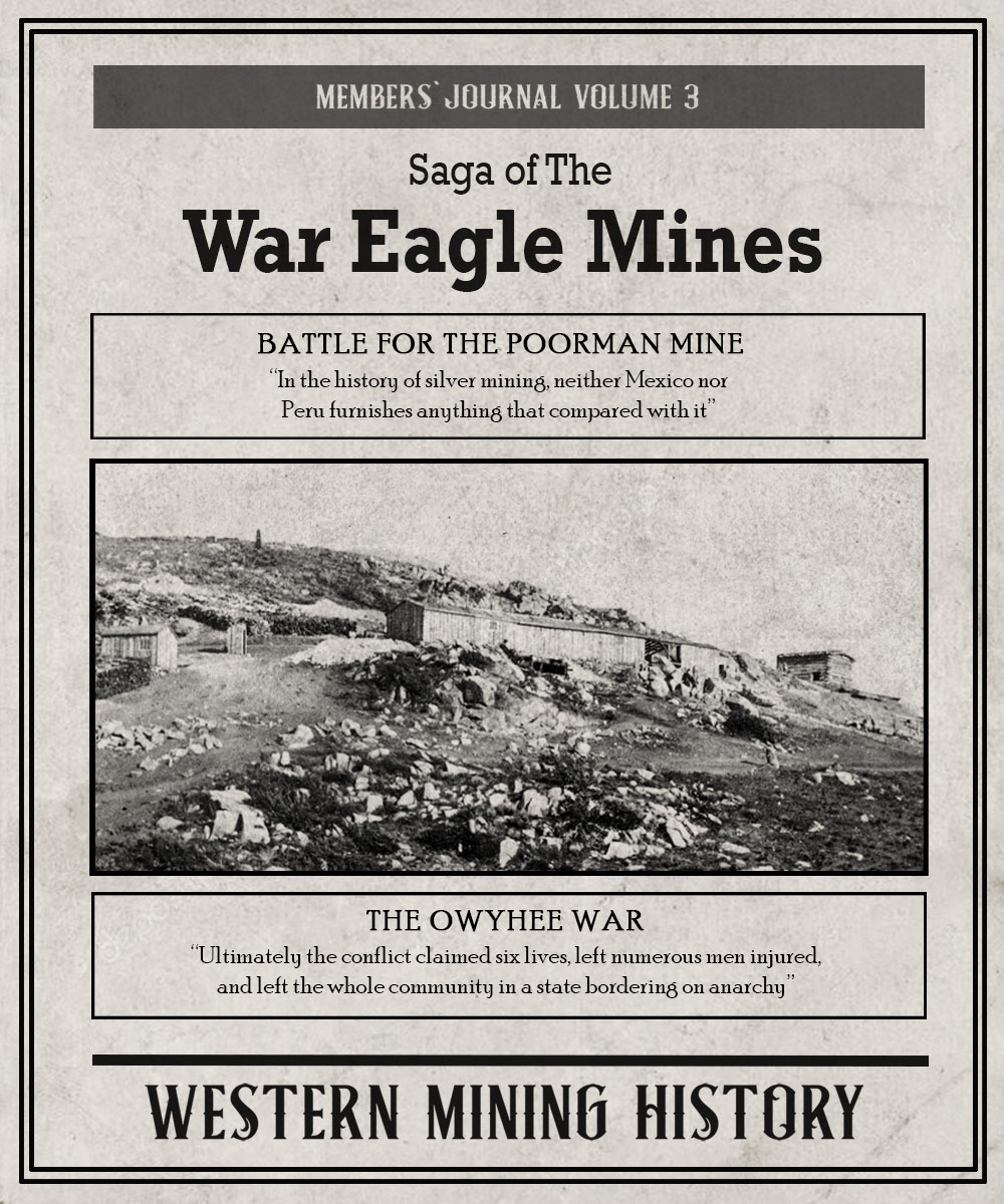
While Silver City and the Owyhee mines entered a new phase by the 1880s, the turbulent events of the 1860s were never forgotten. Aptly named War Eagle Mountain will always be remembered as one of the most contested, and bloodiest, mining locations in the West.
While looking for articles on Doc Holliday I stumbled on a story of a vicious attack on E. D. Cowen, a popular newspaper editor in Leadville. The perpetrator was a man known as Alderman Joy (Charles C. Joy), and the beating he gave Cowen in September 1882 left the man on the brink of death. This article uses historical newspaper articles to paint a picture of who Alderman Joy was – a violent man that was feared by many for nearly two decades.
Nevada is the location of “The Great Basin”, a desert region characterized by numerous wide valleys bordered by parallel mountain ranges. The climate is generally very dry, and the high altitude brings a range of temperature and weather extremes. This inhospitable region doesn’t support a lot of life, but it is one of the nation’s
This is a members-only article. Click here for information on memberships at Western Mining History. Already a member? Sign in to your account.
Of the 508 distinct gold districts identified in the western states by the USGS, these are the top 25 gold producers during the golden age of western mining.
This is a members-only article. Click here for information on memberships at Western Mining History. Already a member? Sign in to your account.
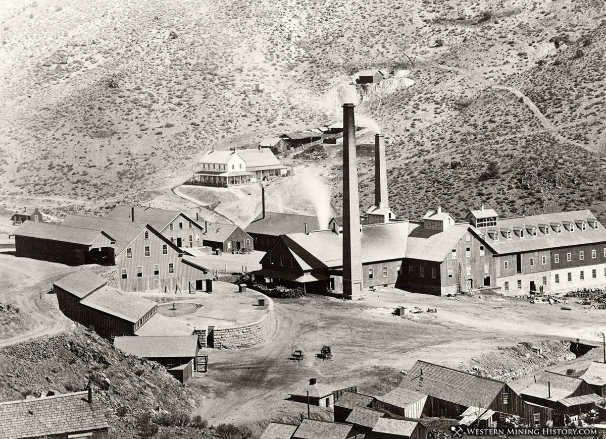
The Comstock Lode of Nevada was one of the richest deposits of precious metals ever discovered, and the mining bonanza that occurred there is one of America’s most significant historical events. This collection of images captures the incredible towns, mines, and mills of this magnificent era of western mining.
This is a members-only article. Click here for information on memberships at Western Mining History. Already a member? Sign in to your account.